I took on a few TC along the Galena Bike trail a week or so ago. This was a very nice trail to take a ride on, for one, it's all flat. lol But near the start of it was a small spring. That I thought was really neat.
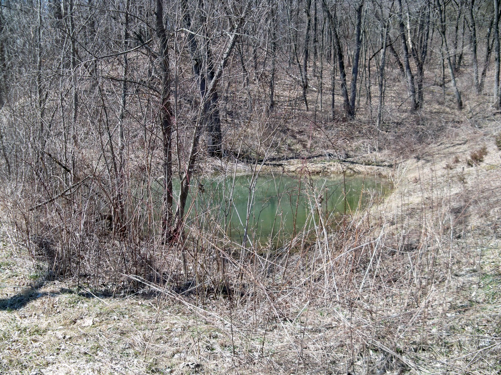
This spring looked like just water was bubbling up from the center. As I was over here checking it out, another bike rider rode over to me and asked it there was any side trails. Which I had no idea as this was my first time on the trail.
After reading about the spring and watching it for a bit, it was time to head on down the trail to look for a couple of caches. This was a nice trail. Most of it was pea gravel, which is nice to ride on. The caches I was after where about 2 miles out, and I think 2 miles was the end of the trail.
My first stop was at a cache called Cabin Fever. I don't know how woodsie found this but it was pretty interesting to see. If you read my log on the cache, most of it was just joking around saying as I got close I saw this neon sign saying "Eat at Woodsies". This rusted out "cabin" is barely standing, but was very interesting to check out. It was just a one room cabin with what looked some sort of fireplace furnace, in the middle of it.
The cabin from a distance.
Inside the cabin.
After checking it out, I didn't stick around long as the sketters where eating me alive. The rest of the trip, I was wondering who build this, and why. Why would it be so small? Questions that I don't think I'll ever get answered.
Then it was on to the next Terracaching, End of the line. Again getting back on the bike trail, was quite a relief as I was able to out run the sketters, and biting flys. This one was located near the end of the trail, which is where I ran into some trouble. I had to do a second dose of bug spray cause the first coat was just like adding flavoring to me. Which you know what I mean if you've ever had that burning feeling from using too much bug spray. This area was neat as there was a picnic table, and a bench where you could watch trains go by on the tracks. There is also a geocache near the TC as well, but I never was able to lay eyes on it, but the forest floor at spots was armpit deep, and I tripped over a few logs on the ground you couldn't see. I found an old "cellar" type object here too.
When I finally found the Terracache, it was a sight for sore eyes. A nicely stocked ammo can. I think all I got in the log book was my name, and the work sketters. They where so bad over here, I didn't stick around long. But I had a great time hunting these two, and again just wonder how he found that cabin.
Happy and safe caching!!!
Tape worm
This is a blog about my geocaching adventure's and concert's that I go to and whatever else is on my mind. © Copyright 2011 by Tape worm. All rights reserved. The following will not be allowed to be reproduced in any way shape or form without the written consent from me. But really why would you want to any way's?
Wednesday, June 29, 2011
Balltown, Ia
The whole family went out this past weekend to grab a few caches but we where going way north up to Balltown to see the "Million Dollar View". We had a pretty cool trip going up and back. And we worked it just right so we hit the view at sunset. You can't beat that here in Iowa. Also I didn't know the oldest bar and grill in Iowa was right next to the viewing area. Which I guess it had a fire last year and we found out it had just reopened.
The Terracache we where looking for was Having A Ball .
We didn't find the cache that day, but we had a good time exploring a part of Iowa, none of us have really been too. Finally here a few weeks ago, I was up in the area and thought I would give it another shot, and wouldn't you know, it was like I knew right where it was at. lol Sadly we don't have any mountians in Iowa, just a lot of farmland, so seeing a place like this is a rare treat.
Tape worm
Friday, June 24, 2011
4.5 Terrain Challenge
It's been a very long time since I've made a post and figured it was about time to start getting caught up. I started working on this series of caches over in Boone, Ia and just south of there. Since there are 9 caches in this series, and I have yet to finish it up, I'll just talk about 3 of them located in McHose Park.
This park is very deceiving but has some really neat hidden away things. At first I thought this is going to be a piece of cake, but remember I had spinal surgery and the ravines where really testing me and I walked away that day in a lot of pain. But I found this trail that lead near the caches so then I just had to climb down and up the ravines. This is a pic of me standing down in the ravine. You don't get the full feel of the 100 feet climb out of them though.
Then as I was going along I realized this trail used to be a old road years and year ago and ran into a spot where an upside down bridge was. It was too early in the morning to get my feet wet and hike around with wet boots all day so I looked for another way to cross.
Also here was some neat river banks I saw that I thought really were cool. Plus there is a disc golf course and you have to toss the disc across the stream.
As I was walking along this trail I found a really odd thing. It's hard to explain so I thought I would just show the photo of it.
I took a few to relax while I was here and examine it some. After a bit of a break I kept going down the trail and I finally found a bridge that crossed the stream. But on the way there I noticed across the stream a small tunnel. So when I did get over to that area, I had to climb down and check it out.
After checking this stuff out I went and found the last of this series in this park. I also grabbed a couple of other caches while I was in the park, but I just thought this whole hidden area that isn't visited by very many held some really neat and historic things. I really just thought the best way to explain was to use photos I took. If your in the are and have some time check these out. I really had a good time in this park. There are a few other caches in this park I'd like to check out as well. Again, this was just the first half of this series. I think I found 6 of them that day, before I just had to bail due to my neck. I've been busting my butt trying to build my neck and shoulder back up to par. My neck is doing great, but having a lot of shoulder problems.
Happy and safe caching!!!
Tape worm
Friday, April 8, 2011
The Bridges of Madison County
A couple of weeks ago me and a co-worker had to work out of town over in Winterset, Ia. What an interesting area. In town you have John Wayne's birthplace, along with a really cool bronze statue. As well as this "castle" type thing out in one of the parks. We got a little time to go and check out a few of the covered bridges. I've never seen the movie that some of these bridges where in but they where pretty cool to see.
So far after doing some research on the net, there used to be 19 covered bridges in Madison county, but today only 6 remain, and only one you can still drive across. I wish I would of had done some research ahead of time to know more about the bridges. I did just learn the bridge you can drive across was just repaired in 95 after an arson fire, and I guess they have had a few problems with this. We noticed a box at each end of the bridges, that housed camera's. We where guessing it was trying catch anyone up to no good.
It was awesome to see the old construction of the bridges. Very interesting plus using curved pieces of woods back in the day these where built. It had to be quite the task building them. It your in the area and have some time, check them out, they are really neat to see. I'll leave you with some pictures I took of them.
Monday, April 4, 2011
Hanover Bluffs
This past weekend I went on a little road trip to go around and look for a few terracaches and a few geocaches. I 'm not sure how I got as far into Illinois as I did, but sometimes you just get going and notice another cache on the map that looks interesting. I really enjoyed this terracache called Hanover Bluffs. Also in the are is a geocache called Hanover Bluffs (GC). In the Hanover Bluffs area there was a geo pretty close to the parking area and the terracache was pretty far into the area.
I got a kick out of this sign as I started down the trail.
At this point in time I wasn't sure where you could swim. But as I got deeper into the area I did find a lake that I think they where talking about. I also found this little spot and decided to do a little skinny dipping. J/K
As I kept following the path, which seemed just to go downhill the whole time. I finally made it to a spot where I had to do some climbing to get to ground zero. Normally I would play billy goat but I had a head cold and every time I went up 10 feet up the hill I had to stop and catch my breath. Once I made it to ground zero, There was a lot of places to look. I spend the next 20 minutes looking for the cache but wasn't able to find the cache. Finally I decided to sit down for a bit and just relax. As I was sitting there, I looked over and noticed something, and sure enough it was the cache. I looked threw the logbook for a bit, and then signed it. I rehid the cache and started back down the the trail. I wanted to explore the area a bit more, and was walking along on the edge of the trail and almost tripped over a benchmark.
After that I walked around on the trails a bit and found where they where talking about no swimming. Finally it was time to head back to the car. Now since I went down hill the entire time on the way in, sure enough it was up hill the whole way out. But I really enjoyed this hunt. I just wish I wouldn't of had a head cold.
Labels:
benchmark,
geocaching,
Hanover Bluffs,
Tape worm,
terracaching
Saturday, March 26, 2011
"M"adJack Tribute Cache
Last weekend I made a trip up to Wisconsin to do a few terracaches and check out some areas that have some geocaches I'm interested in hunting down. I wanted to do a little recon to see if all the snow was gone since most of these I have picked out are high terrain. But I came across this terracache that I just knew I had to do it, while I was there.
"M"adjack Tribute Cache just peaked my interest when I rolled right past Platteville and saw the giant "M". Now I've seen the M before, but long ago before I ever did any caching.
When I was getting close my thought was I have to get to the top of this thing. I didn't know they had a stairwell on the south side of it that takes you to the top. Which each step has a plaque with a name of someone that donated time, or money on the creation of this thing. Plus it has a number on each plaque. Yup, the number of each step. There is a total of 266 stairs to the top.
While I was heading up to the top, they have a couple of places you can stop with benches on there was a geocache at about the middle of the way to the top. I won't fully show the spoiler photo but you can pretty much get the idea here.
Now I'm thinking cool, but still I'm only half way up. Time to get to the top. So I continued on and up and up and up. Finally I reached the top. They do have one of those bonicluar things you can look threw to see the view. Which was amazing. Here's a panaramic photo I made with my camera:
Well, now half of the task was done, reaching the top. But still was a ways from the cache. There was a nice trail that led back into the woods for a 1/4 mile or so, that I followed and took me very close to the cache location. Once I reached ground zero I was doing a quick look and didn't spot anything, lots of good hiding spots but wasn't able to find anything. I'm blaming that on the lack of oxygen. :) Finally I decided I would sit down on this log and grab a breather and I about sat on the ammo can. Funny how that can happen sometimes.
Now my hat goes off to anybody that would carry a fully loaded ammo can up all those stairs, and back that far. That's Freakin awesome!!!
All in all this was my favorite cache hunt for the day. I'm so glad I saw the 'M'. I really enjoyed this cache. I'll also post some photos of the information on the "M" itself.
Monday, February 21, 2011
Crusing Down the River
At the end of last summer I had been eyeing this cache that hadn't been found yet. It was a couple of weeks old but the trick was it was on a small island in the middle of the river. This area is a popular spot where you can rent a canoe or tubes and float down the river. I was thinking on how I could get to it but I was missing one think. If I parked to float down the river I would of had about a 15 mile hike to get back to the car from the pull out point. I didn't have another person to park their car at the pull out point so we would have a ride back to the start of it all.
So I got to looking at the maps and the boundary's of the state park and it looked like I could get to it by following the edge of the river. One small problem. The terrain next to the river had very steep slopes and a lot of bluffs. So I did what any other stupid person would do. Tackle the terrain for 2 miles to get as close to the cache as I could.
As I started off on the trail, I ran into some rock climbers and some repellers. It was a perfect day to be out in the woods, and really cool to stop and watch some of these people.
As I moved a lot down the trail you could tell few people had traveled this far in, but yet I ran into a few more groups of climbers.
This was about the end of the trail and the terrain got very ruff. I started to have to find animal trail to get to the top of some of the bluffs just to have to climb right back down them again. Still this was a amazing park and I think few see these bluffs. I finally got luckily and found a broken animal trail with a lot less ups and downs. Which about a half mile of that I finally had to climb down the last bluff to a low spot and hike back out to the river. As I got as close as I could before I had to cross the water, I found a fallen log next to a small beach like area. I decided to take a break for a bit there.
As I was sittng there I could here people coming down the river and of course they spotted me. This is when my trip got kind of interesting. They had to stop right there and they came over to me. One lady sat down on my log I was sitting on and started jabbering away. She was drunk. Then the questions came. What are you doing out here? Are you homeless? Are you some sort of murderer hiding out in the woods. They just where not buying my hiking story. Thankfully they didn't stay long and it was time to get wet. I stripped down to my shorts and just my GPSr and headed for the small "island" in the above picture. At first it got very deep, then very shallow, then deep again. As I got near the island I saw another group floating down the river but they weren't interested in me at all.
Once I reached the island all the trees and bushes where a mess and hard to bushwack threw, but I finally was able to wiggle my way to the cache container. Of course when I found it, I found a little trail that came from the other side of the island that was very easy to pass threw. I signed the log sheet and then headed back over to where I left my camel-pak and other hiking supplys. I decided to take another break and started doing some thinking on how I could find a way back that was easier.
This is where I started to devise a plan using the river to make it back. I finished off the rest of my water in my pack, I didn't realize how warm it was till I ran out of water. That gave me the idea that I could put my electronics inside of the battler of the bag, to keep them dry. Once I put them in, I used the straw to blow air into the bladder and fill it up with air.
I then put the pack on my back, and went into the river. This made a make shift floating device. I just did a back float and got into some current and let the river do all the work. Which this worked out very well, I got to see those bluffs I had been climbing up and down on. I think by this point all the people on the river today were down stream and I had the whole place to myself. What a great way to finish up the cache hunt.
I noticed by this time it was past the time I told my wife I would call her by. It took a lot longer to hike out there than I had planned on. But my cell phone didn't work out here at all. Thankfully she didn't freak out that I finally called about an hour and a half late.
As I floated down stream I hit some shallow spots that had lots of rocks. Those spots kind of hurt the legs a bit, but it still was a fun trip. When I finally made it back to the truck I had traveled 4.67 miles with 976 feet of elevation gain. Which is a lot of elevation for Iowa. Two months later the cache owner made another trip down the river and planted two more caches. Those I can't reach from the park so I'll have to the floating down the river thing. I'm looking forward to attempting those this up coming summer.
Subscribe to:
Comments (Atom)


